


Ergo360 Fuel & O-2 Solutions app for iPhone and iPad
Developer: ADS, Inc.
First release : 10 Sep 2012
App size: 1.67 Gb
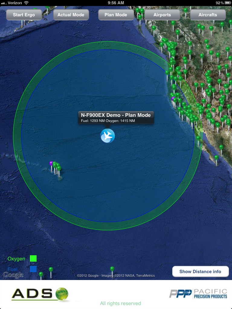
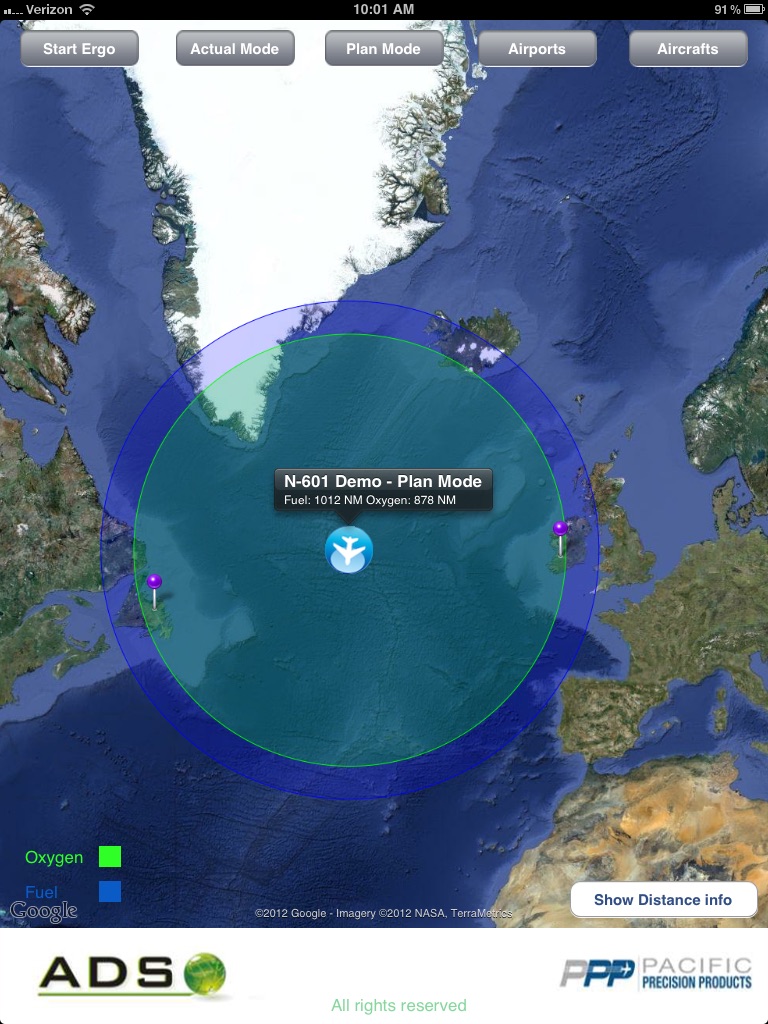
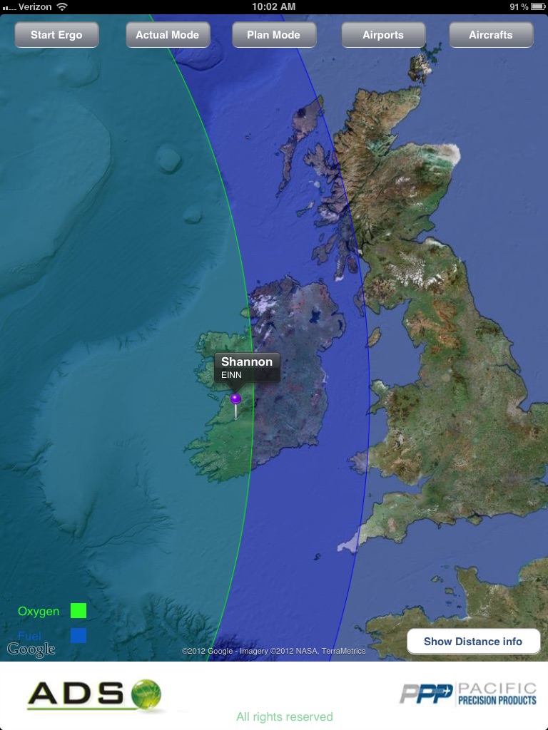
The Ergo 360 app calculates an aircraft’s fuel and oxygen consumption at a given altitude and plots their ranges as different colored rings on an interactive map. The pilot can change the proposed altitude and see the results of these changes in the rings on the map display. Utilizing a worldwide airport database, Ergo displays the airports which fall into the area where the two rings overlap, indicating that there is an adequate supply of each resource to safely land at any of these airports. The Ergo 360 system features a "Planning" mode, which simplifies flight planning, and a dynamic, in-flight "Actual" mode, which can be used in the event of a partial or full decompression situation.
WHO Uses ERGO 360?
-Pilots operating a pressurized aircraft
-Pilots operating an aircraft over large bodies of water
-Aviation managers building an Oxygen SMS
-Educators looking to enhance their oxygen contingency training
WHAT is ERGO 360 Used For?
-Verifying oxygen reserves during flight planning
-Explosive, Rapid and slow decompressions
-Smoke/fire Emergencies
-Medical Emergencies
-Forced Water Landings
Fuel/Oxygen management
ERGO 360s primary function under normal operating conditions is to visualize fuel and oxygen assets. Simple color coded rings are used to display your asset ranges. Perfect for planning from the hangar or reacting to unexpected changes in the cockpit!
Airport Database
ERGO 360 provides a detailed airport database of more than 8,000 facilities worldwide. This database includes facilities that may be not listed on your FMS due to runway length or closures. ERGO 360 ensures you can consider every option in the event of a forced landing.
Maritime Database
Traditionally, a forced water landing could be viewed as a virtual no win scenario. In the event of the unthinkable, ERGO 360 brings a 220,000+ live-streaming maritime database. Data includes metrics on vessel speed, direction, country of origin and more. With ERGO 360, you have the information youll need to position your water landing for the quickest possible rescue.
Disclaimer:
Continued use of GPS running in the background can dramatically decrease battery life.